8 Aug 2026
Gladespan stands out due to its measurable attributes that illustrate scale and features. These numbers offer practical insights for planning visits or studies in this natural setting.
Geographic Measurements
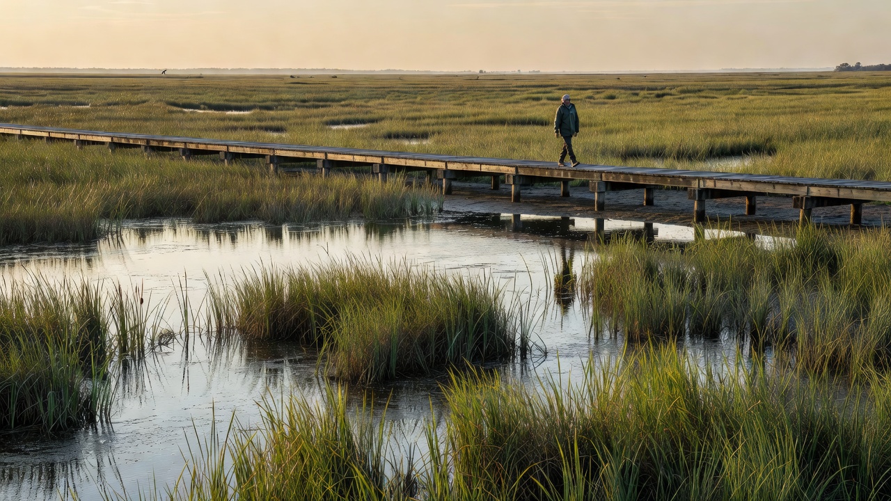
Gladespan covers 320 square kilometers in total. This includes 45 percent open meadows, 30 percent forested sections, and 25 percent water bodies. Elevations range from a peak of 850 meters down to 120 meters at the lowest areas. Twelve primary trails extend 95 kilometers combined. Water features comprise 28 ponds and five rivers spanning 67 kilometers altogether. Average yearly rainfall measures 1,450 millimeters spread across seasons. These dimensions create varied zones suitable for different activities while supporting natural processes across the expanse.
Biodiversity Statistics
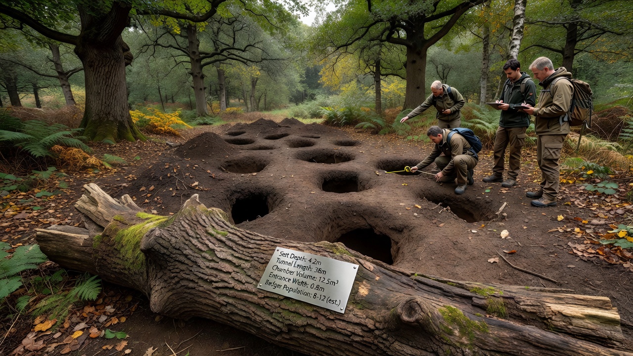
Documentation shows more than 1,200 plant species present. This breaks down to 85 tree types and 340 flowering varieties. Wildlife includes 65 mammal species, 210 bird species, and 45 reptile types. Insect estimates surpass 3,500 species. Twenty-two endangered species receive focused protection. Population monitoring indicates steady levels for the majority of groups. Such counts highlight ecological diversity and guide ongoing management to preserve balance without disruption.
Access and Usage Figures
Yearly visitor totals average 150,000 individuals. Daily peaks reach about 800 people during busy times. Facilities include four visitor centers and 18 camping locations. Educational sessions total 120 per year, drawing 25,000 participants. A team of 35 staff handles upkeep. These usage metrics help ensure resources support sustained enjoyment while maintaining the area's integrity for all who arrive.